
COMMUNITY PROJECT CONCEPTS
These are provided as concepts to demonstrate the application of the “Mauri Model”, and as a creative outlet. If you have any ideas you would like to gift to the project please used the Contact Us form or our socials (links at the bottom of the page).
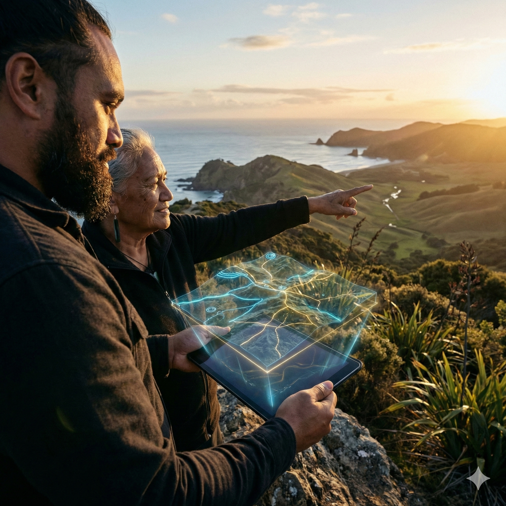
COMMUNITY PROJECT #419 - CULTURAL MAPPING PROJECT
Mission Statement:
To protect our "Digital Whenua" by using GIS technology to map wāhi tapu and historical sites, creating a sovereign layer for planning and storytelling.
The Needs Assessment:
Many of our sacred sites and historical narratives are being lost to development or the "Semantic Entropy" of fading oral histories. Current "Colonial Maps" view the land as "Fee Simple" titles rather than an entangled living ancestor. We need a high-fidelity way to visualise our history to protect our sovereignty.